
Kayak the Shore – A Guest Blog by ESVA Tourism
This trail is part one of a six part series! Follow along for updates about different trails to explore around Virginia’s Eastern Shore!
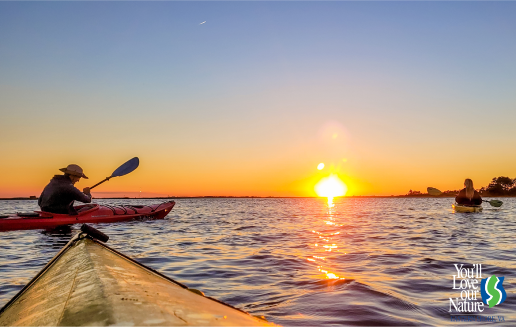
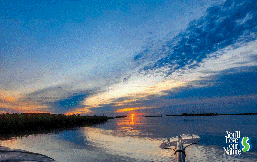
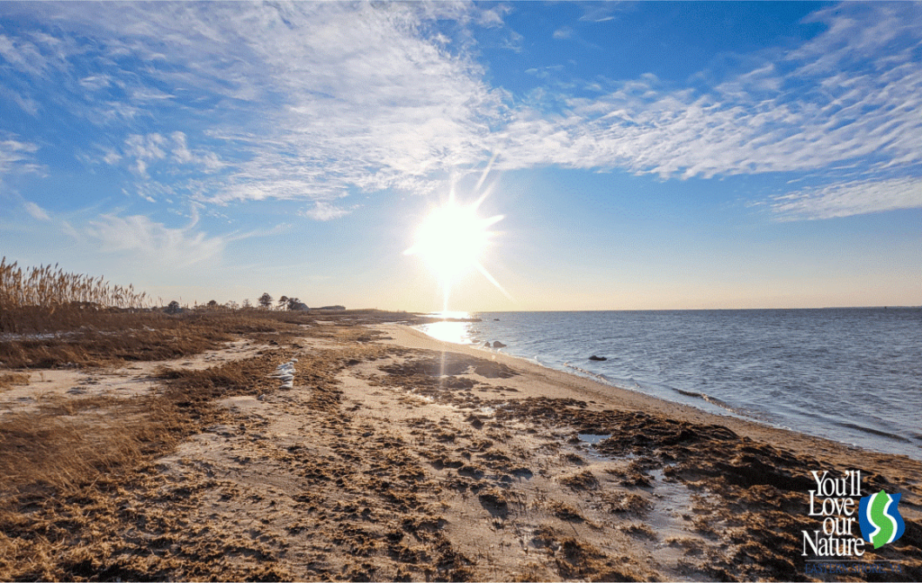
Kayak the Shore
Is there just something so peaceful to you about a day out on the water in a kayak (or canoe or SUP) and you are ready to explore a new water trail? Using the Virginia Water Trails website and map is a great way to get out on the water and find a spot that is perfect for you and your kayaking abilities!
- Fisherman Island National Wildlife Refuge Trail
- Kiptopeke Loop
- Titlow Creek Loop
- Saxis North End Point Trail
- Tom’s Cove
- Fir Landing and Oyster Bay
Each of these trails are rated for beginners, but there are often trails that are from the same location that are rated more difficult. If you are looking for a challenge, check out the map here to plan your paddle!
Information about each trail is provided courtesy of Virginia Water Trails. Check out their website here!
Fisherman Island National Wildlife Refuge Trail
2.8 miles
Launch at the Eastern Shore National Wildlife Refuge kayak launch at Wise Point near high tide (there is a concrete boat ramp past the kayak launch, which requires a fee). Head to the left as you face the water. This will take you South down Racoon Creek toward the Waterway Coast of Virginia (WCV), where you will turn left, heading north. Raccoon Island, also part of the Eastern Shore National Wildlife Refuge, is directly across the channel. Stay to one side or the other of the channel in order to avoid boat traffic, making your way to the other side of the channel when safe to access the creek separating the north and south portions of Raccoon Island. Once you have emerged from the creek, you’ll see Fisherman’s Island to the southwest (the Fisherman Island National Wildlife Refuge closed to the public at all times) and Smith Island with the Cape Charles Lighthouse to the east/southeast. Note that Smith Island is to the east with the Cape Charles Light, which stands 180ft tall. Smith Island is owned by The Nature Conservancy, between April 15-September 1, birds are nesting and access is limited to the water line. Enjoy the view and retrace your route to return to the launch.
Mud ramp on side of road with ample parking for 6 to 8 vehicles. Not usable at Low Tide, but acceptable at mid- to high-tide levels. Paddlers will have to be aware of power boat users and shallow spots in marsh. This is a great put-in as it provides all weather access to the water without exposing paddlers to a major waterway. This site is on the Virginia Birding & Wildlife Trail. Check it out! https://dwr.virginia.gov/vbwt/sites/eastern-shore-of-virginia-national-wildlife-refuge/
See the public access launch point on Google maps here: www.google.com/maps/dir//37.12915,-75.954609/@37.1632097,-76.0366839,12z
Kiptopeke Loop
1.5+ miles
Access the loop by launching from the Kiptopeke Boat Ramp and stay on the Shore side of the concrete ships. These Ghost Ships were planted there to act as a breakwater to the once-upon-a-time ferry dock. The Ghost Ships are now host to many birds including Pelicans, Cormorants, and Osprey. Learn more at https://www.birdingeasternshore.org/kiptopeke-state-park and visitesva.com/esva-places-to-go/listings/the-ghost-ships-of-virginias-eastern-shore/
Park entry fee required. Learn about wildlife that you may encounter in this area from Park Rangers during special events or at https://dwr.virginia.gov/vbwt/sites/kiptopeke-state-park/since this site is on the VDWR Birding and Wildlife Trail!
See the public access launch point on Google maps here: www.google.com/maps/dir//37.167691,-75.98612/@37.1698595,-76.048294,12z
Titlow Creek Loop
2.5 miles
Paddling through the creek, you’ll notice a dock with a historic building. Welcome to the Hopkins & Bro. Store! Historically known as a maritime trading center in its heyday, it is now owned and maintained by the Eastern Shore Historical Society. To learn more about Hopkins & Bro. visit https://www.shorehistory.org/hopkins-brothers
Launch out of the Dinghy Dock across the street from the Onancock Wharf. See the public access launch point on Google maps here: www.google.com/maps/dir//37.711238,-75.754238/@37.7114421,-75.824142,12z
Saxis North End Point Trail
2 miles
Follow the beach down North End Point and loop back around; as you paddle, take in the view of the open seaside and the tidal wetlands.
Launch at the Saxis Park Kayak Launch on Dennis Ln, located just off Matthews Rd, this beach is intended for low-impact boats and fishing.
See the public access launch point in Google maps here: www.google.com/maps/dir//37.9364986,-75.7153929/@37.924025,-75.736673,13.17z
Tom’s Cove
1+ miles
The sandy beach and shallow water near the Toms Cove launch site offers semi-protected paddling for Beginners. You will see abundant wildlife and may see Cow Nose Rays in the shallow water. Boats must be carried a few hundred feet along a path from the parking area to the water. Stop at the Toms Cove Visitors Center to get information on launching and current restrictions on landing along the Toms Cove shoreline.
Ample parking. Entry fee to gain access to the Refuge. Learn about the wildlife you may visit in this area by visiting the Refuge Visitor Center or by visiting https://dwr.virginia.gov/vbwt/sites/chincoteague-national-wildlife-refuge/ since this Refuge is on the VDWR Birding and Wildlife Trail!
See the public access launch point in Google maps here: www.google.com/maps/dir//37.886682,-75.345756/@37.9119757,-75.4076316,12.29z
Fir Landing & Oyster Bay
2+ miles
This is the northernmost public launch site on Chincoteague Island and thus offers the best access to the most serene waters in the area. The launch facility is very small and parking is very limited. As you enter the water, cross the narrow channel and take a Left, and head North. As you exit the narrow creek, stay toward your left and explore the salt marshes along the shoreline of Chincoteague Island. Intermediate and Advanced paddlers can head across Assateague Bay to Assateague Island. However, Beginner paddlers should stay close to Chincoteague Island in order to avoid getting turned around or lost. Return to the boat ramp by retracing your path, and stay vigilant for powerboat traffic.
A valid Town boat ramp license must be properly displayed by all users of this facility. License may be purchased at 6150 Community Drive. Limited Parking.
See the public access launch point in Google maps here: www.google.com/maps/dir//37.935719,-75.349174/@37.9364336,-75.4200833,12z
Water Safety
When on the water, always be sure to follow local guidelines and laws to protect yourself and others as you are exploring! Always wear a life jacket and have a whistle, take water and food with you, and always be aware of weather conditions before heading out. Learn more about water safety and regulations here and here.*
www.paddling.com/learn/paddlers-safety-checklist-safety-series
Cold Water
If you choose to go out on the water when it is cold, please take extra precautions to keep yourself safe in the cold water. Please read here for more information on cold water safety. Always consider taking someone with you and tell someone about your kayaking plans, including your trail location and when you plan to return.*
Preparing for your trip
The best way to have a great kayak trip is to be prepared! Check out this list for great inspiration as you prepare for your perfect kayak trip!*
www.virginiawatertrails.org/solo-kayaking-the-ultimate-safety-checklist/
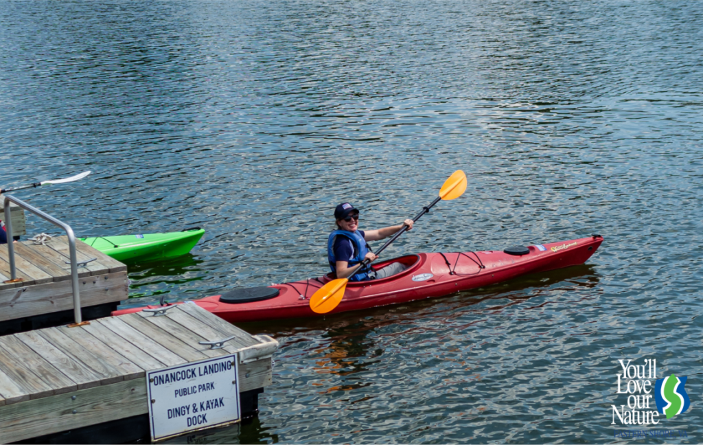
Kayak Rentals
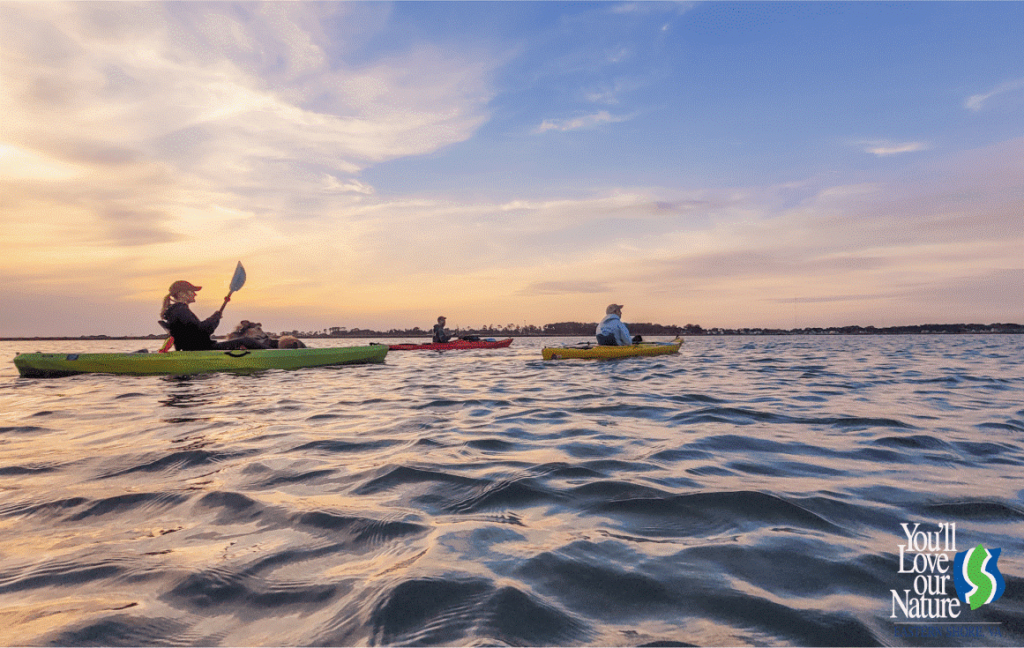
Need to rent a kayak for your adventures? Check out our kayak rental companies!
The kayak tour company pictured above is Assateague Adventures. Our 2022 Local’s Choice Best Kayak Companies top three are:
Chincoteague Island Outfitters
Find more kayak tour and rental companies on our Play section of our site!
![]()
![]()
![]()