Come paddle among the nearly pristine marshes and swamp forests of the Lower Chickahominy region. View wildlife, fish, explore by boat, bike, hike, or relax with a glass of wine; the Lower Chickahominy region is a choose your own adventure oasis of outdoor fun. You can even travel back in time at one of the many historical and cultural sites that offer visitors a variety of stories, sights, and experiences to enjoy.
Please bear with us while we work to refine and expand our water trails; this is a living map and currently under construction. Thank you & check back often!
The interactive maps provided on the Virginia Water Trails website are to highlight the trail routes. They are not intended for navigational use. Please obtain NOAA navigational maps when planning your trip.
*Please know that paddling along rural coastal Virginia’s water trails is done at your own risk. Never paddle alone and when paddling in a new place, be sure to use a personal locating beacon.
*Each paddler must have a whistle, USCG approved PFD (life jacket), 360-degree white light at night and orange flag on a mast (particularly in marsh areas with low visibility and/or motor boat traffic, especially during hunting season), and basic safety, rescue, and first aid items.
Before paddling, please refer to Trail Safety Tips!
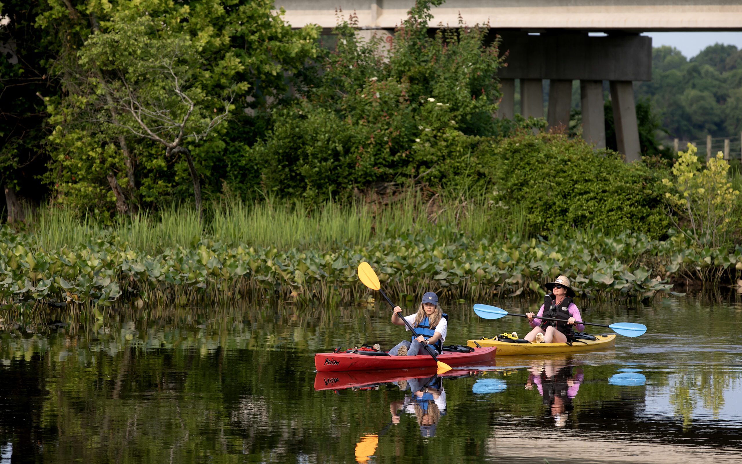
The Lower Chickahominy region is centered around the tidal portion of the Chickahominy River located on the southernmost peninsula on the western shore of the Chesapeake bay. The Lower Chickahominy region includes the Counties of Charles City, James City, and New Kent. The Lower Chickahominy River stretches from Walkers Dam at the eastern edge of Chickahominy Lake downstream to the confluence with the James River. The Lower Chickahominy is home to some of the most impressive tidal freshwater vegetation in the Mid-Atlantic region. Recently, scientists performing fieldwork “noted that the tidal freshwater wetland communities were among the highest quality remaining along Virginia’s tidal rivers.”
The Chickahominy River was named after the Chickahominy Tribe, a Native American tribe that was settled along the river when the English colonists arrived in 1607. The Lower Chickahominy area is about as close as you can get to the first steps of English colonization of the mid-Atlantic; Jamestown was established in what is now southeastern James City County. Currently the region is home to two Tribes: the Chickahominy Tribe based in Charles City County and the Chickahominy Tribe – Eastern Division based in New Kent County.
If you are hoping to complement your paddling adventures with some pedaling or walking be sure to check out the Virginia Capital Trail, a 51 mile multi-use trail that runs along Route 5, a Virginia Scenic By-way, connecting Richmond to Jamestown. Shops, restaurants, parks, museums, wineries and more can be found along the trail along with scenic view galore. If fishing is more your thing, the Lower Chickahominyis where you want to be. The Lower Chickahominy typically boasts among the highest largemouth catch rates in Virginia.