Virginia’s Eastern Shore is the narrow, 70-mile long, southern portion of the Delmarva Peninsula separating the Atlantic Ocean from the Chesapeake Bay. Find quaint villages surrounded by rich farmland, pristine salt marshes, and shallow bays abundant with marine life. Shellfish and fin fish – both wild and farmraised – abound, and if you are lucky, and look closely, you may see an occasional seahorse.
The barrier island system along Virginia’s Eastern Shore supports significant numbers of migratory shorebirds and is part of the Western Hemisphere Shorebird Reserve with international status as serving host to >100,000 shorebirds. Many of these species nest directly on the ground, so please avoid getting out of your kayak along the coast from April through August to protect these sensitive animals.
Explore this extensive wonderful local Shore resource for Birding on the Eastern Shore or look at this NOAA Virginia Coastal Zone Management Nesting Brochure for more information. Island ownership information can be seen on this map. Click the ![]() logo to access more data layers. Click the
logo to access more data layers. Click the ![]() logo to view the map full screen.
logo to view the map full screen.
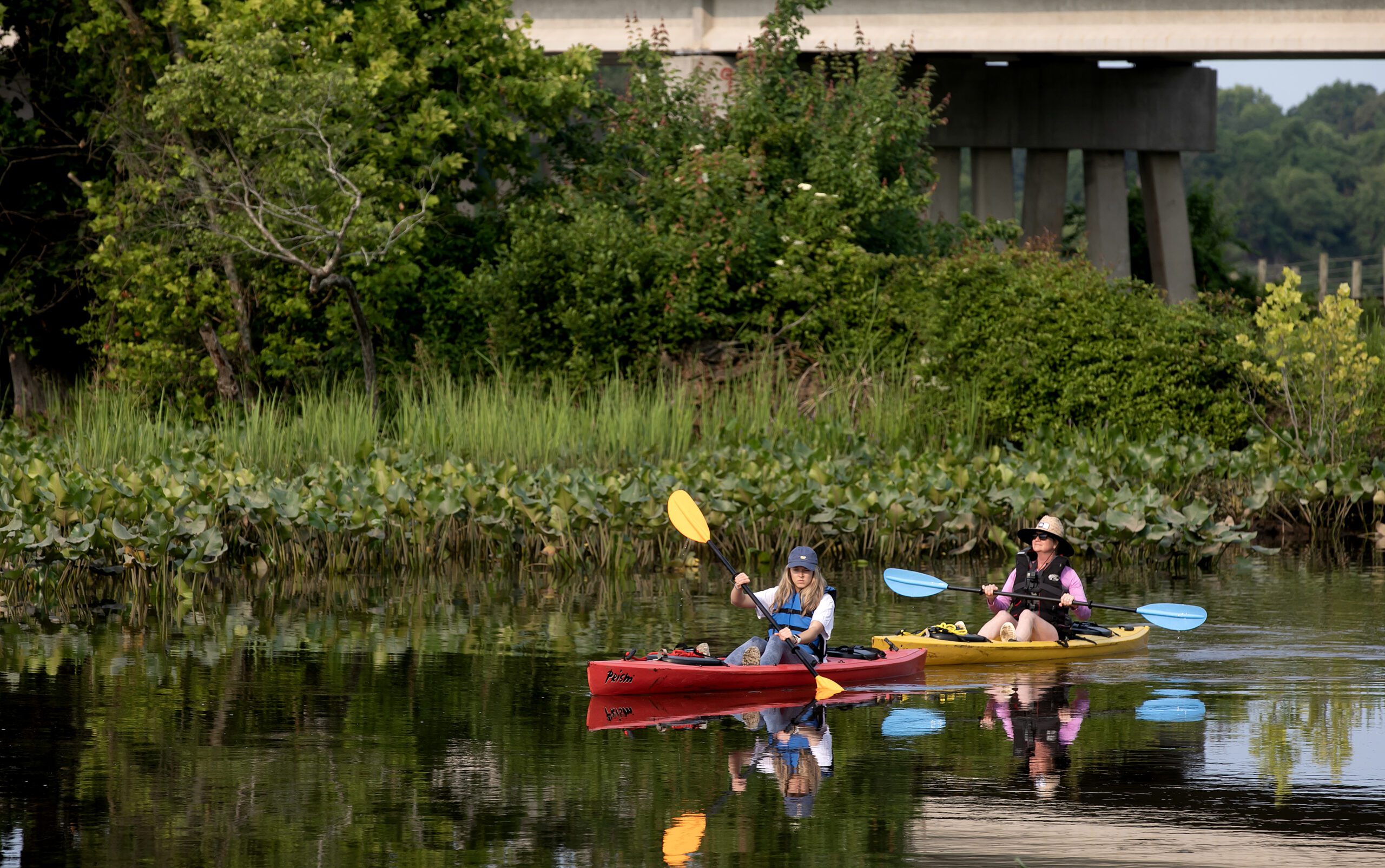
The interactive maps provided on the Virginia Water Trails website are to highlight the trail routes. They are not intended for navigational use. Please obtain NOAA navigational maps when planning your trip.
*Please know that paddling along rural coastal Virginia’s water trails is done at your own risk. Never paddle alone and when paddling in a new place, be sure to use a personal locating beacon.
*Each paddler must have a whistle, USCG approved PFD (life jacket), 360-degree white light at night and orange flag on a mast (particularly in marsh areas with low visibility and/or motor boat traffic, especially during hunting season), and basic safety, rescue, and first aid items.
Before paddling, please refer to Trail Safety Tips!
The Virginia Coastal Zone Management Program developed the 100 mile long Virginia Seaside Water Trail in 2006 and continues to fund the refinement of the Seaside Water Trail as well as the development and refinement of the 100+ mile long Virginia Bayside Water Trail. Both trails are a series of smaller day-trip trails, ranging from beginner to advanced.
The Seaside Water Trail runs between the Eastern Shore of Virginia National Wildlife Refuge at Cape Charles and Chincoteague Island. Additional trail segments go through Chincoteague National Wildlife Refuge and connect to Assateague National Seashore and the Assateague Canoe Trail. The Seaside Water Trail branches off at Chincoteague Island and ends at the Village of Greenbackville near the Virginia/Maryland state line. The Bayside Water Trail runs between Kiptopeke State Park at Cape Charles and Pitts Wharf at New Church, just north of the Saxis Wildlife Management Area.
During 2020, continued efforts to improve and refine the Eastern Shore Water Trails will be developed and added here! If you’re interested in providing input, please contact jsteelman@a-npdc.org.