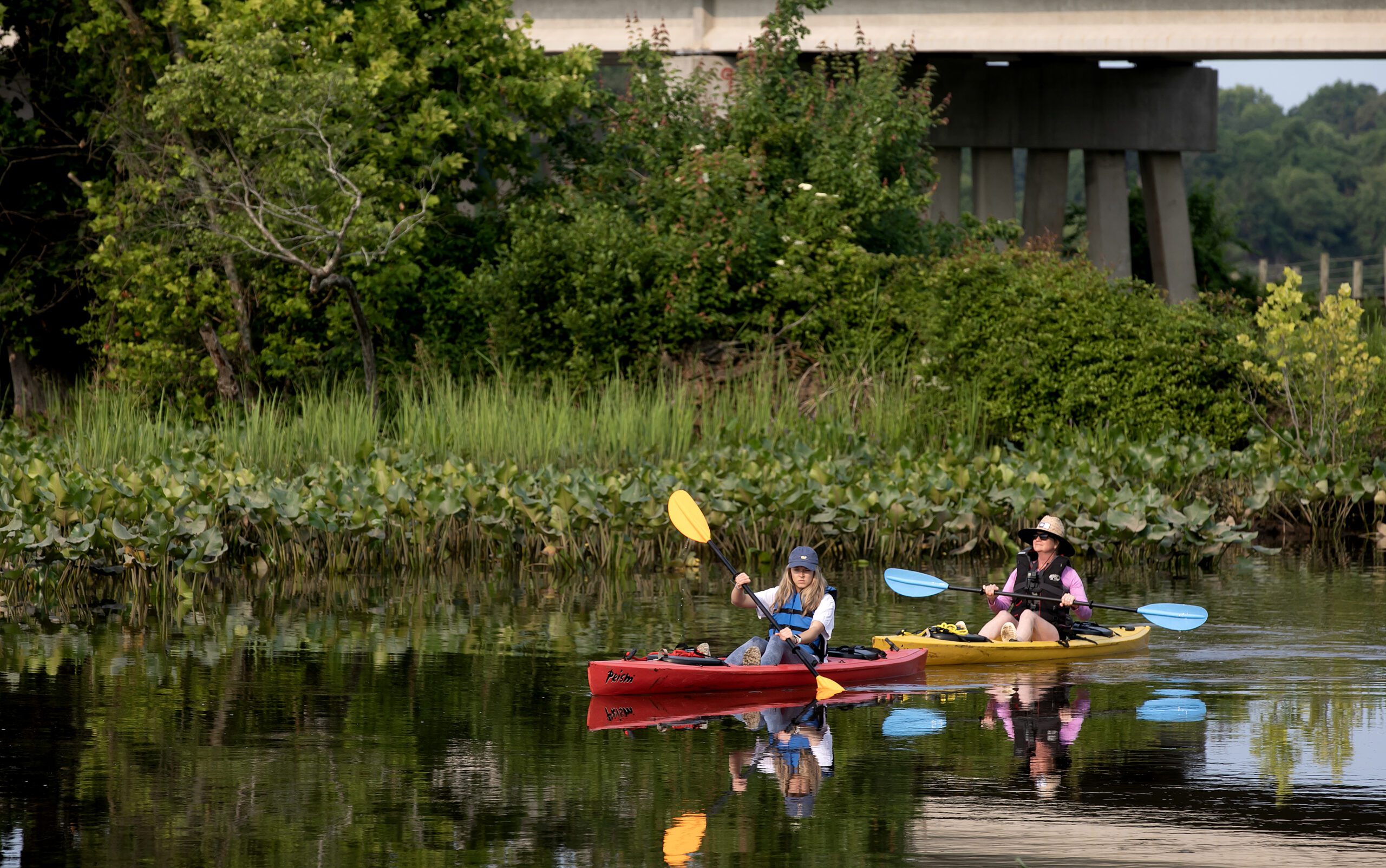
A short drive from most of the big Mid-Atlantic cities, a visit to the Northern Neck is truly a step back in time and an opportunity to experience the road less traveled – or paddled, as it were.
The Virginia Department of Conservation & Recreation has created a Story Map that follows the scenic views along water trails in the Northern Neck National Heritage Area. Click the ![]() logo to access more data layers. Click the
logo to access more data layers. Click the ![]() logo to view the map full screen.
logo to view the map full screen.
Please bear with us while we work to refine and expand our water trails; this is a living map and currently under construction. Thank you & check back often!
The interactive maps provided on the Virginia Water Trails website are to highlight the trail routes. They are not intended for navigational use. Please obtain NOAA navigational maps when planning your trip.
*Please know that paddling along rural coastal Virginia’s water trails is done at your own risk. Never paddle alone and when paddling in a new place, be sure to use a personal locating beacon.
*Each paddler must have a whistle, USCG approved PFD (life jacket), 360-degree white light at night and orange flag on a mast (particularly in marsh areas with low visibility and/or motor boat traffic, especially during hunting season), and basic safety, rescue, and first aid items.
Before paddling, please refer to Trail Safety Tips!
The Northern Neck is the northernmost of three large peninsulas (traditionally called “necks” in Virginia) on the western shore of the Chesapeake Bay. This peninsula is bounded by the Potomac River on the north and the Rappahannock River on the south. It encompasses Lancaster, Northumberland, Richmond, and Westmoreland Counties.
Quiet creeks, tranquil rivers and wetland marshes abound.
Towns: White Stone, Irvington, Kilmarnock, Warsaw, Montross, Colonial Beach
Waterfront Historic Districts: Morattico, Irvington, Kinsale, Reedville, Heathsville, Westmoreland State Park, Colonial Beach
Find your water trail below:
Northumberland County Water Trails
Cockrell Creek
Coan River
Upper Great Wicomico
Lower Coan River
Richmond County Water Trails
Cat Point Creek Water Trail
Totuskey Creek Water Trail
Morattico Creek & Lancaster Creek Water Trail
Westmoreland County Water Trails
Monroe Creek / Bay Water Trail
Currioman Bay Water Trail
Lower Machodoc Creek Water Trail
Bonum Creek Water Trail
Lancaster County Water Trails
Mulberry Creek Water Trail
Greenvale Creek Water Trail
Corrotoman River Water Trail
Little Oyster Creek Water Trail